Route overview
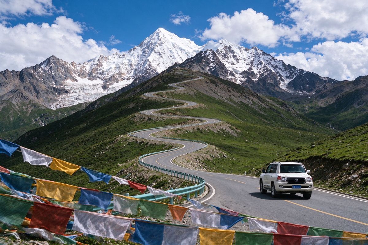
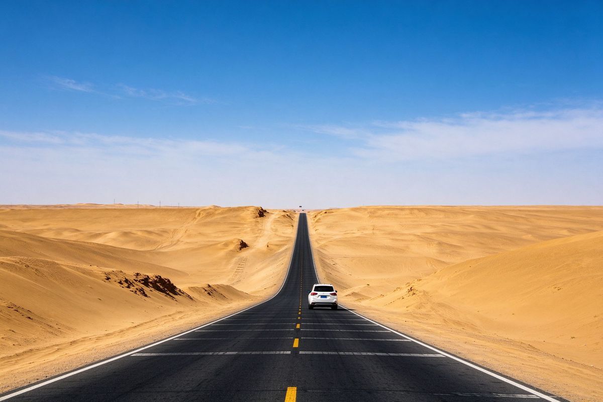
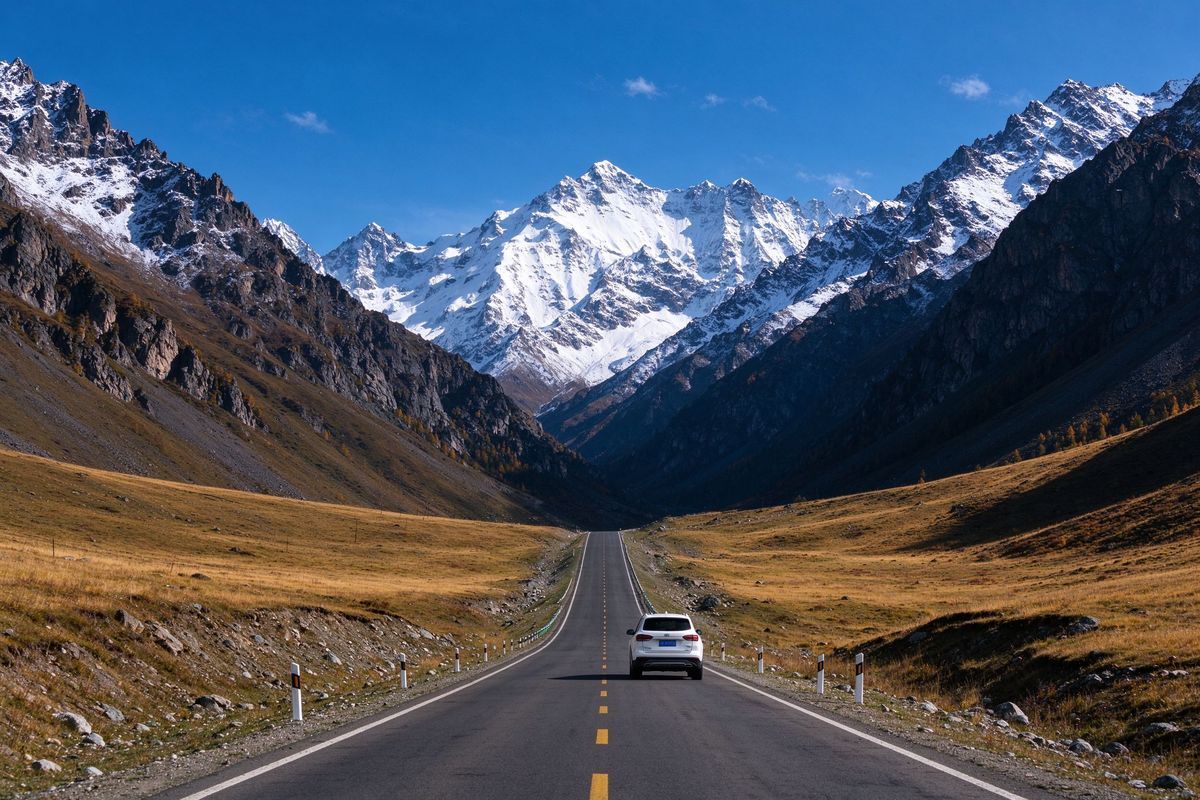
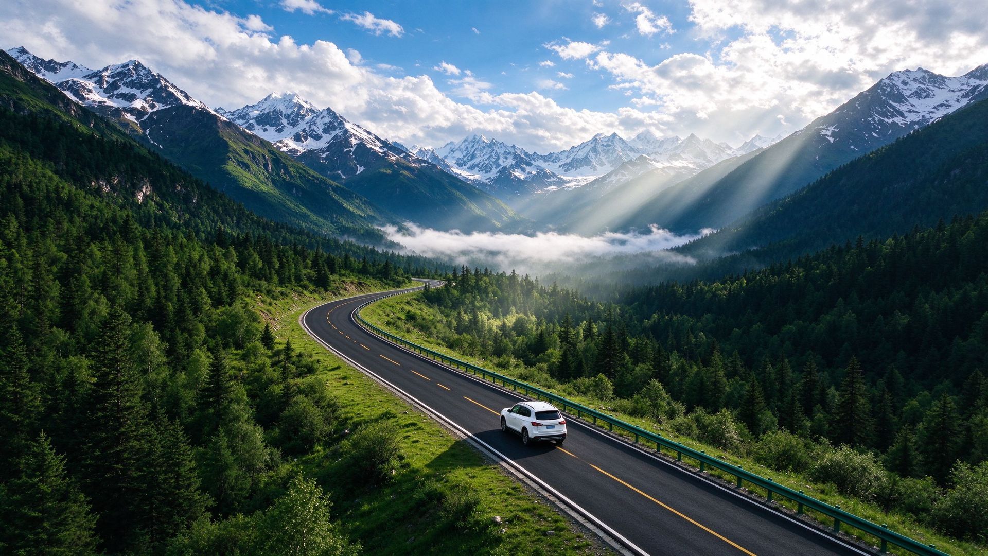
The highest border highway in the world from Yecheng to Lhasa — passes over 5,000 m, plateau lakes and the Ali region. For serious overlanders only.
Highlights
- Kongur and Muztagh Ata views near the Pamir
- The \u201cAli plateau\u201d and its chain of salt lakes
- Bangong Lake on the border
- Rutog and the ancient Guge kingdom sites
Suggested itinerary
- Day 1Yecheng → Kargilik → Mazha Pass (start of the high road)
- Day 2Mazha → Dahongliutan (first 5,000 m pass)
- Day 3Dahongliutan → Ayak Lake area
- Day 4Ayak Lake → Ali (Shiquanhe)
- Day 5Ali → Zanda (Guge ruins) → Rutog
- Day 6Rutog → Bangong Lake → Shiquanhe
- Day 7Shiquanhe → Zhada → Saga (join route toward Lhasa)
Costs to expect
Plan 700–1,200 CNY per day for two people. Fuel points are sparse — carry spare fuel through the Dahongliutan–Ali stretch, and refuel at every township.
Driving tips
- Altitude above 4,500 m for days — altitude sickness planning is essential
- Foreign travellers need Tibet entry and border-area permits; route filing is included in our service
- Temperatures can fall below freezing at night even in summer
- A high-clearance 4WD vehicle and all-terrain tyres are strongly recommended